We are known to provide an impeccable topographic survey to our clients. Through the help of our survey techniques, our clients can figure out the site that is suited best for petroleum drilling.
We offer best services to the client that may help to know the area and estimate their budget for further planning.


Applications
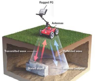
Utility Detection & Mapping
Road and rail investigation
Subsurface Investigation
Concrete Inspection


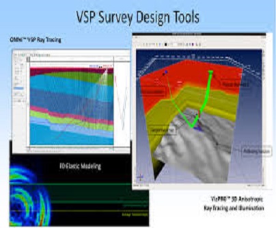
Methodology
The geophones are laid out in a line and the signal is sent to the seismometer via a spreader cable. The receiver spread length should be 3-4 times the inspection depth. The source point location is not too close to the geophones and the source point offset is usually set on a trial basis for production work. Instead of a vertical offset, it is usually placed in a line slightly offset from the receiver line. This configuration allows the most accurate analysis of transition times as the shots are placed exactly at the ends of the line